
Somerset LPA BNG
Biodiversity Net Gain in Somerset, from the Levels and Moors to the Mendip Hills. Expert BNG support and access to local BNG units.
.avif)
Trusted by Developers and Landowners







Biodiversity Net Gain in Somerset Local Planning Authority
Somerset Council has been a single unitary authority since 2023, replacing the county council and the four districts of Mendip, Sedgemoor, South Somerset and Somerset West and Taunton; Bath and North East Somerset and North Somerset remain separate. The Somerset Levels and Moors fill the centre, about 650 square kilometres of wet grassland, reedbed and peat moor between the Quantock and Mendip hills, with 32 SSSIs and a Ramsar designation. At RSPB Ham Wall, reedbeds created on former peat workings typically hold 18 to 20 breeding male bitterns. The limestone Mendip Hills, with Cheddar Gorge, lie to the north, the Quantock Hills, England’s first Area of Outstanding Natural Beauty in 1956, rise in the west, and 71% of Exmoor National Park lies in the county, although the Exmoor National Park Authority, not Somerset Council, is the planning authority there. On the coast, Bridgwater Bay National Nature Reserve holds the largest area of saltmarsh in Somerset, beside the Steart Marshes managed realignment on the River Parrett estuary.
Biodiversity Net Gain became a legal requirement for major developments in England on 12 February 2024, and for small sites on 2 April 2024. Somerset has no single local plan yet, so the plans of the four former districts still apply, and a scoping consultation for a new Somerset Local Plan ran from 19 June to 9 August 2026. On 14 February 2024 the council’s Planning and Transport Policy Sub-Committee adopted the Somerset BNG Guidance Note as a material planning consideration, not as an SPD, together with local BNG validation requirements. The council asks for the national 10% and sets out a sequence of on-site delivery first, then off-site units, then statutory credits. It lists ten habitat banks secured after its 2024 call for sites but says it does not sell the units itself, and its Local Nature Recovery Strategy was published on 27 March 2026.
Phosphates are the main constraint. Natural England advised all Somerset planning authorities on 17 August 2020 that the Somerset Levels and Moors Ramsar site is at risk from excess phosphates, and new housing in the Tone, Parrett and Brue catchments must show phosphate neutrality using the council’s own calculator. A smaller area falls in the River Axe SAC catchment, covered by Natural England advice of March 2022. The council has approved a phosphate credit scheme, first in the Brue catchment in May 2023, and holds £9.6 million from the Local Nutrient Mitigation Fund, so a scheme here can face two tests at once: Biodiversity Net Gain and phosphate mitigation.
Habitats in Somerset Local Planning Authority
.avif)
Somerset runs from tidal saltmarsh and peat moor in the Levels to limestone, heath and woodland on the hills.
- Ancient Woodland and Heathland: the Quantock Hills SSSI, with sessile oak and valley alder woodland, heather heath and a SAC for lesser horseshoe bats.
- Calcareous Grassland: the Mendip Hills, where Crook Peak to Shute Shelve Hill SSSI holds calcareous grassland and the rare Cheddar pink.
- Coastal Limestone Grassland: Brean Down SSSI, with white rock-rose and Somerset hair-grass on its south-facing slopes.
- Moorland: heather moor on Exmoor, about a quarter of the park, planned for by the Exmoor National Park Authority rather than Somerset Council.
- Peat Moors and Reedbeds: the Avalon Marshes, including Ham Wall National Nature Reserve, 260 hectares of reedbed created from former peat extraction.
- Saltmarsh and Mudflats: Bridgwater Bay National Nature Reserve and the Steart Marshes on the Parrett estuary.
- Wet Grassland and Willow Beds: the Levels and Moors, about 70% grazed grassland, and the only area in the UK where basket willow is grown commercially.
Somerset LPA BNG Planning
High distinctiveness habitats—such as lowland fen, ancient woodland, floodplain marsh, and saltmarsh—require a restoration-based approach to BNG, often through bespoke habitat management plans.
Lower distinctiveness habitats like improved pasture and arable margins offer practical and scalable BNG options through field edge enhancements, wildflower seeding, and hedge planting.

Taunton
Bridgwater
Yeovil
Frome
Glastonbury
Street
Wells
Chard
Minehead
Get notified of a scheme
We do not currently have any schemes covering this LPA.
Get notified when a scheme is available in this area.
Discover Schemes in
Somerset LPA
LPA
Restoring ecosystems and creating sustainable habitats
through BNG and nutrient mitigation.
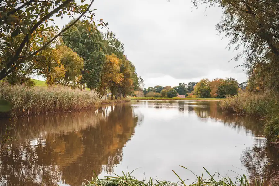
Shavington Estate
Shavington Estate
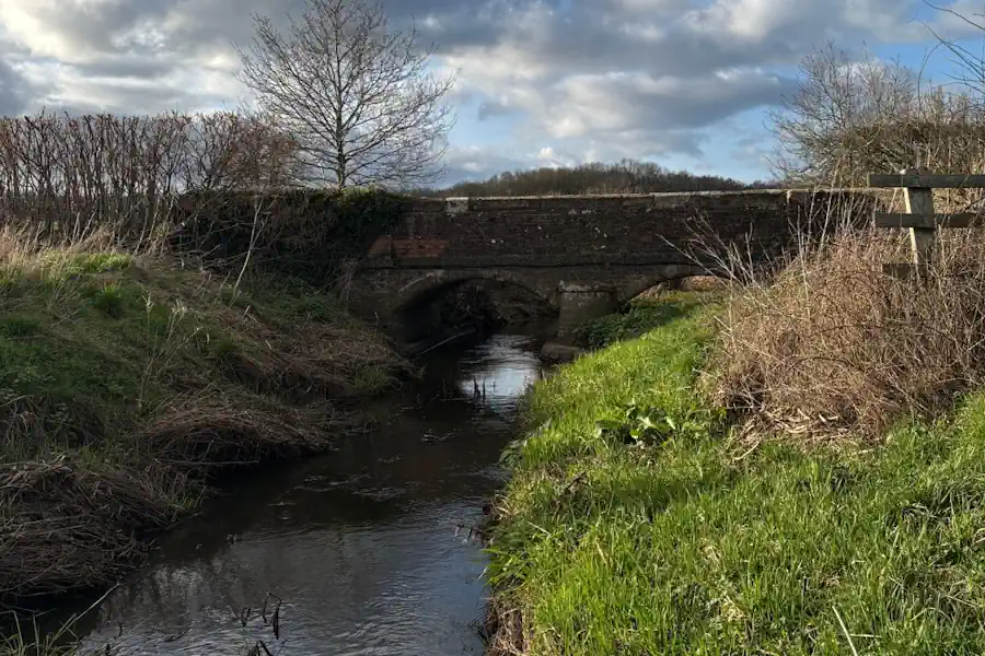
Hurst Farm
Hurst Farm
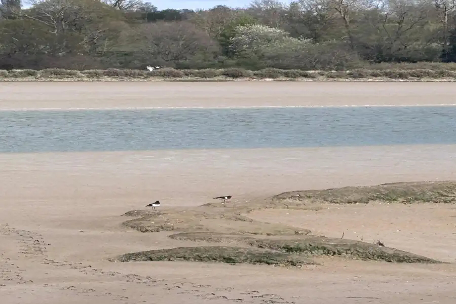
Essex BNG at Priors Farm
Essex BNG at Priors Farm

Somerset BNG Scheme
Trinity Farm & Eastcombe Fields
Tees Nutrient Mitigation
Tees Nutrient Mitigation Scheme
.jpg)
Wiltshire BNG at Lydeway
Land at Lydeway
.jpg)
Herefordshire BNG at Hampton Wafre
Hampton Wafre Farm
Are you looking to start a BNG scheme?
Talk to Greenshank and explore the opportunities we offer through your land.
Latest News
A step-by-step guide for landowners looking to sell their land as BNG units, and how Greenshank can help at every stage of the process.
.webp)
Find out how biodiversity net gain legislation works under the Environment Act 2021, what it requires, and which developments are exempt.
Find out how nutrient mitigation schemes work for landowners, how nutrient credits are generated, and how to combine nutrient and BNG income.