
Calculating Biodiversity Net Gain with a BNG Assessment

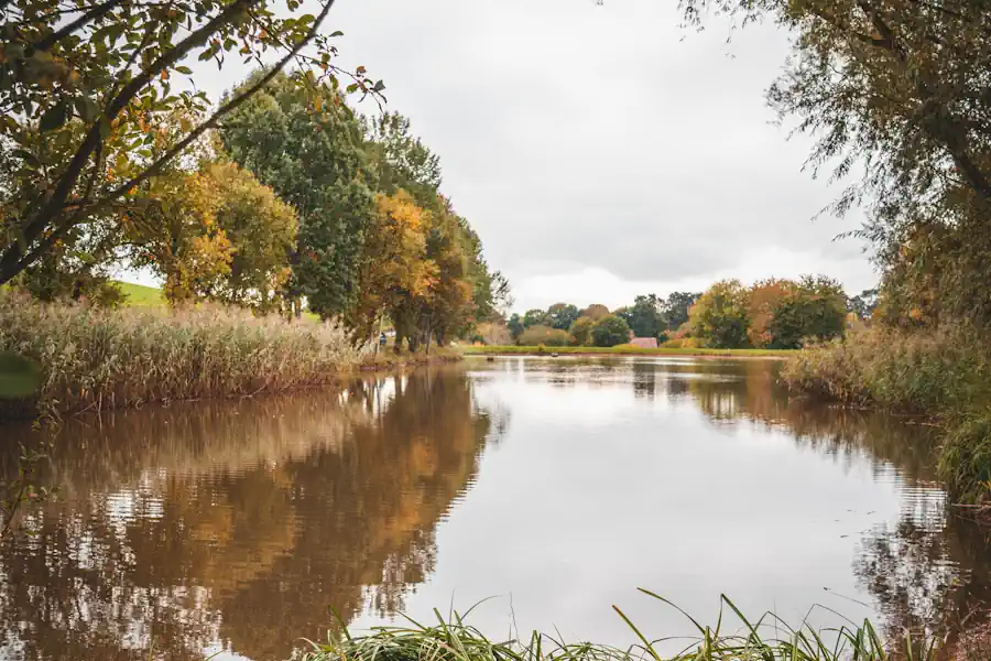
Decades of decline have almost halved the UK's levels of original nature, according to the Natural History Museum's 2024 Biodiversity Intactness Index.1 The following year, a study showed the country was among the world's least "nature connected,"2 and that weaker connection to nature was linked to the same pattern of biodiversity decline.3 Although it all sounds alarming, efforts are being made to try and remedy the situation.
In February 2024, biodiversity net gain (BNG) became mandatory4 for most developments. From that date, projects subject to BNG must leave the environment in a measurably better state than they found it by enhancing habitats by a factor of at least 10%.
A key part of the BNG process is the biodiversity net gain assessment. This guide explains what is involved, how it is carried out, who can complete one, what it costs, and how it feeds into the wider process of calculating biodiversity net gain for planning permission.
.webp)
What Is a Biodiversity Net Gain Assessment?
A biodiversity net gain assessment is an ecological survey of a habitat, carried out before a development begins.
Tools such as the UK Habitat Classification, the National Vegetation Classification5 and MAGIC, managed by Natural England, are often used to gather precise details of every habitat parcel within a development site's red line boundary.
That includes its size (measured in hectares or metres squared, or kilometres or metres for linear habitats such as watercourse and hedgerows), the habitat type, condition,6 whether it has any local strategic significance or is mapped in the local nature recovery strategies.7
The biodiversity assessment may also include information about any irreplaceable habitats - which are not subject to BNG and require bespoke compensation solutions -, as well as protected sites, and ecological features that have existing protections.8
The BNG assessment isn't just crucial for providing measurable, objective information at an early stage in development plans. It can bring to light any ecological constraints and opportunities, potentially saving developers time and money.
Who Is Qualified to Carry Out the BNG Assessment?
A biodiversity net gain assessment should be completed by a suitably qualified ecologist. They need to be able to accurately identify habitat types and determine their condition.
We work with Ethos on many of our schemes, but whoever is engaged should ensure all assessment work is robust and likely to be accepted by the relevant local planning authorities, which scrutinise this information very closely.
We are also happy to recommend other highly experienced ecologists, if a developer or landowner requires.
.webp)
What Does a Full Assessment Typically Cost?
The cost of a BNG assessment varies depending on the size and complexity of the development site, the number and diversity of habitat parcels present, and if any protected species or irreplaceable habitats need specialist survey work.
Developers should budget for a biodiversity gain assessment as a core part of their early planning costs, rather than as an afterthought.
How Long Does a Baseline Survey Remain Valid?
A biodiversity assessment and the baseline biodiversity value it establishes is a reflection of the condition of a habitat at the time the survey was carried out.
Fast-changing ecosystems, such as some grassland types, may need resurveying sooner than slower-changing habitats like established woodland.
If a significant amount of time passes between a baseline survey and submission of a biodiversity gain plan, a local planning authority may request an updated assessment to confirm the information remains accurate.
Ecologists often recommend a baseline survey be no more than one to two years old9 by the time a planning application is submitted. This also applies to phased developments.10
.webp)
What Comes After the Biodiversity Net Gain Assessment?
Calculating biodiversity net gain for development projects follows a structured sequence, and the biodiversity net gain assessment is the first step. Although every development site differs in habitats and complexity, the underlying process remains broadly consistent.
Using the Statutory Biodiversity Metric
The on-site habitat information recorded in the biodiversity net gain assessment is fed into the statutory biodiversity metric tool.11
Many small sites still need to achieve a 10% biodiversity net gain (though BNG does not apply to planning applications for developments of 0.2 hectares or below, as long as priority habitats are not affected)12 but they can use a streamlined version of the SBMCT, known as the Small Sites Metric13 (SSM) which simplifies the assessment process.
Projects that are able to use the SSM must fulfill very specific criteria, including being residential developments of less than 10 dwellings or under one hectare, non-residential sites under 1,000 square metres of floor space, and which are not waste development.
Developments where only the habitats available in the SSM are on-site and don't include priority habitats, which also have no statutory protected sites or habitats and no European protected species, can also use the SSM.
Both tools create a baseline that measures habitat parcels in standardised biodiversity units. Each is assessed for their size, distinctiveness, condition, and strategic significance, to determine a habitat's overall biodiversity unit value.
.webp)
Assessing Development Impact
Once the baseline biodiversity unit value has been established, the statutory biodiversity metric tool will determine how the proposed development will affect existing habitats.
It calculates what habitat may or will be lost, what may or will be retained, and what impact any new or enhanced habitats, planned as part of the development, will have.
The mitigation hierarchy in BNG assessments prioritises avoiding and minimising damage to existing habitats,14 before relying on compensation through habitat creation.
Calculating the Net Gain Figure
The statutory biodiversity metric tool subtracts the number and value of biodiversity units after development from the pre-development figure, giving developers the percentage they need to ensure they achieve the minimum 10% uplift in BNG.15
Generating the BNG Plan
The completed BNG assessment and biodiversity metric tool's calculations underpin the biodiversity gain plan, a formal document that is submitted to the local planning authority as soon as planning permission has been granted.
The BNG plan includes baseline biodiversity value and habitat enhancement strategies, along with details of off-site units or statutory biodiversity credits required to make up any shortfall, and confirmation of how habitat enhancements will be secured for the required 30-year period in a habitat management and monitoring plan (HMMP).16
Find out more about what biodiversity net gain planning involves.
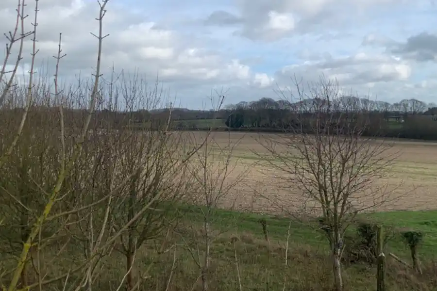
Common Pitfalls with BNG Applications
A number of issues can prompt local planning authorities to challenge or reject submitted BNG assessments.17 A few of them include:
Incorrectly identifying a habitat type can significantly distort the biodiversity unit value, either understating or overstating a site's true baseline.
Out-of-date surveys are a frequent problem, particularly on sites where habitat conditions have changed a lot between the original baseline survey and a later planning application submission.
Insufficient detail on or not fully mapped18 existing habitat conditions is another error. The statutory biodiversity metric requires a defensible condition assessment for each habitat parcel, rather than a broad classification. Assessments that skip this step are more likely to be challenged.
Failing to properly address irreplaceable habitats or consider strategic significance in relation to local nature recovery strategies can undermine an otherwise sound biodiversity gain plan, and materially affect the local planning authorities' decision.
.webp)
Achieving Net Gain After the BNG Assessment
Once the number of biodiversity units a development needs to deliver has been established, if on-site solutions won't achieve the minimum 10% threshold, developers can use off-site biodiversity gains.
The biodiversity gain hierarchy19 requires developers to prioritise on-site habitat enhancement, before buying registered, off-site biodiversity units.
Regulatory changes in 2026 enabled developers of small sites that are bigger than 0.2 hectares but not considered a "major" development to consider off-site enhancements at the same time as on-site.20
Off-site units must be sourced from appropriate habitat banks listed on the Biodiversity Gain Site Register, and secured through a legal agreement with a responsible body for a minimum of 30 years.
For developers who can't achieve the mandatory, minimum 10% increase in biodiversity, statutory biodiversity credits are available as a final, last-resort option.21 See how BNG units and credits compare on cost for the full breakdown.
Our Experts Can Help with Your BNG Assessment
If you need support carrying out a baseline assessment as part of preparing your net gain plan, calculating your biodiversity units, or sourcing off site units to meet the minimum 10% uplift requirements, we can help.
We can recommend trusted ecologists to carry out surveys and draw up HMMPs, and guide you through the entire BNG process from baseline survey to biodiversity gain plan approval.
Our expert team can also advise landowners on ways to create habitat banks to sell as BNG units, and explore nutrient neutrality schemes.
Email us at sales@greenshank-environmental.com or fill in this contact form and we'll be in touch as soon as possible.
BNG & Nutrient Neutrality Compliance: How Greenshank Helps Developers Achieve Legal Certainty
How Greenshank's BNG and nutrient neutrality solutions help developers stay compliant while meeting their planning needs.
Biodiversity Net Gain

How Does Deforestation Affect Biodiversity?
How deforestation affects UK and global biodiversity - from habitat loss and species extinction to disrupted ecosystems - and how BNG can help.
Biodiversity Net Gain
A Developer's Checklist for BNG Council Submissions
Don't put your project at risk of delays. Ensure every box is ticked with our handy developer's checklist for BNG council submissions.
Biodiversity Net Gain
Ready to buy your units?
Easily buy your BNG units online today to ensure compliance and positive environmental impact.