
Explained: The Biodiversity Net Gain Metric

.jpg)
Of all the things to get excited about, changes to planning regulations probably wouldn't make it to most people's lists. But in February 20241 we were thrilled when the UK government's flagship Biodiversity Net Gain (BNG) policy became law.
Part of the Environment Act 2021, BNG requires wildlife habitats in England affected by development projects to be left in a better state than they found them, and requires at least a 10% biodiversity improvement.
The mechanism underpinning BNG is the Statutory Biodiversity Metric Calculation Tool2 (SBMCT). It calculates the existing number of biodiversity units within a project site before and after development, revealing how many are needed to achieve that minimum 10% BNG gain.
This article explores the SBMCT to explain how it works, who can use it, and what developers need to know to apply it correctly.
What Is the Statutory Biodiversity Metric Calculation Tool?
The Statutory Biodiversity Metric Calculation Tool (SBMCT) is used to measure the biodiversity value of a site. It looks at the habitats present, their size, condition and ecological importance, and converts this information into a standard measure known as biodiversity units.
This gives developers, planners and land managers a consistent way to understand the biodiversity value of a site and calculate the gains needed to meet Biodiversity Net Gain (BNG) requirements.
The metric itself has been evolving for more than a decade. It was first introduced as a voluntary tool in 2012 and went through several updates, including Metric 4.0, published by Natural England in March 2023. In February 2024, this was replaced by Defra's Statutory Biodiversity Metric, which became the mandatory method for calculating biodiversity value under BNG.

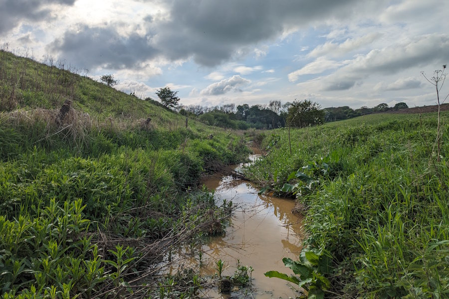
Biodiversity units break down into three categories: area habitat units, hedgerow units, and watercourse units. A habitat's size, distinctiveness, condition, and strategic significance are all assessed as part of the biodiversity calculation, and we'll explore those in more depth a little later.
For created or enhanced sites, the SBMCT also factors in the difficulty of their creation or enhancement, how long the habitat needs to reach its target condition, and the distance from the habitat loss.
By calculating the total biodiversity value, the SBMCT gives developers and land managers the exact number of biodiversity units needed to replace any habitat lost through development, and to achieve the mandated, minimum 10% uplift in BNG.
.jpg)
Far from being a one-off solution, the SBMCT should be used multiple times3 on a project to help developers achieve the maximum biodiversity gains possible.
The Small Sites Metric
Many small sites still need to achieve a 10% biodiversity net gain (though BNG does not apply to planning applications for developments of 0.2 hectares or below) but they can use a streamlined version of the SBMCT, known as the Small Sites Metric4 (SSM) which simplifies the assessment process.
Projects that are able to use the SSM must fulfill very specific criteria, including being residential developments of less than 10 dwellings or under one hectare, non-residential sites under 1,000 square metres of floor space, and which are not waste development.
.jpg)
Developments where only the habitats available in the SSM are on-site and don't include priority habitats, which also have no statutory protected sites or habitats and no European protected species, can also use the SSM.
Not sure which tool is the right one for your development project? Let us help.
How Does the Statutory Biodiversity Metric Calculation Tool Work?
The SBMCT assesses each habitat parcel5 (an on-site area containing a single type of habitat) on the development site before and after development, and allocates scores for distinctiveness, condition, and strategic significance.6 These are multiplied with the area or length of the habitat to produce an overall biodiversity unit value for every parcel.
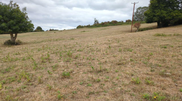
Distinctiveness is the relative ecological importance of the habitat type, and should be determined with a professional survey. High distinctiveness sites include ancient woodland or lowland calcareous grassland, while modified grassland or hard standing are considered low distinctiveness.
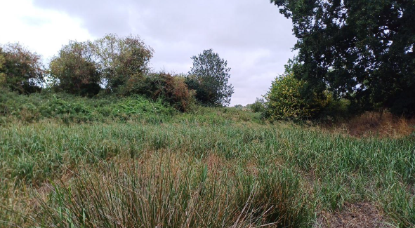
Condition reflects the state of the habitat with scores ranging from 0 (not applicable) to 3, which is good. All habitat parcels requiring an assigned condition in the biodiversity metric tool should be recorded using specific biodiversity metric condition sheets. Be aware this does not apply for watercourse condition assessments.
Strategic significance determines the importance of the habitat in relation to its location, and each habitat parcel should be assessed for on-site and off-site, using relevant local documents. Habitat parcels must be split if they are split by a boundary between two areas of different strategic significance or a planning authority boundary.
If the project is in a location where a Local Nature Recovery Strategy (LNRS) has been published, developers must apply the LNRS and specific categories of low, medium, and high - detailed here - to determine the strategic significance.
These same criteria also apply to watercourses,7 but the SBMCT will also factor in both riparian zone and watercourse encroachment.
Irreplaceable Habitat and the Statutory Biodiversity Metric Calculation Tool
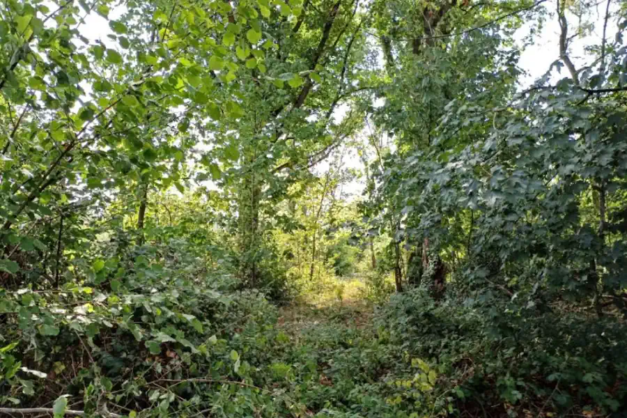
Irreplaceable habitats8 are locations which, because of their age, uniqueness, species diversity or rarity would be challenging or even impossible to restore. Understandably, planning permission for developments affecting such sites is granted only in exceptional circumstances.
Because of that, irreplaceable habitats cannot be measured by the statutory biodiversity metric calculation tool, and are automatically removed from its baseline calculation.
Although developers must record all irreplaceable habitat on a site in the SBMCT, regardless of whether they will be affected by the proposed development, they should not record any bespoke compensation action for losses on the metric's enhancement or creation sheets.
If planning permission is granted for development on a site that includes irreplaceable habitat, the biodiversity gain plan should include the following details:
- the type, extent and condition of any irreplaceable habitat there is before development.
- any expected changes in irreplaceable habitat type, extent and condition as a result of development.
- actions taken to minimise adverse impacts to irreplaceable habitat, and compensation plans.
Trading Rules for Minimum Habitat Creation
Assessing habitats using the statutory biodiversity metric calculation tool before and after development produces an accurate biodiversity net gain figure - but that's not all.
Trading rules that apply throughout the SBMCT9 ensure any created or enhanced habitats match or exceed what was impacted or lost. The tool will instantly display whether the requirements for the minimum 10% increase in BNG have been met or not.
In situations where biodiversity gain can't be achieved on-site, off-site units, sourced from the biodiversity gain site register, can make up the shortfall. In these instances, a spatial risk multiplier is also applied, which means the further off-site units are from the site, the more a developer has to buy.
.png)
We can help you find the ideal off-site scheme.
Statutory Biodiversity Credits
If more than 10% biodiversity gain can't be achieved through on-site or off-site units, there is a last resort: statutory biodiversity credits.
Developers can explore purchasing statutory biodiversity credits10 only after they have looked at on-site and off-site options - a process known as the biodiversity gain hierarchy. It is possible to achieve BNG targets using all three methods, as long as you follow the strict order: on-site, off-site, credits.
However, developers seeking to buy statutory biodiversity credits must prove why they cannot meet BNG through either on-site and off-site options.
.png)
Credits cannot be bought until a developer is ready to submit their biodiversity gain plan, as the local planning authority must confirm whether or not they can be used. Be aware it can take up to eight weeks for statutory biodiversity credits applications to be approved.
Who Can Use the Statutory Biodiversity Metric Calculation Tool?
The government requires a competent person with "the knowledge and skills to perform specified tasks to complete and review biodiversity metric calculations."11
Most developers call on a professional ecologist to use the tool, while projects requiring a river condition assessment must be carried out by a qualified assessor.
.jpg)
Developers using the Small Site Metric do not have to hire an ecologist.12 As long as the competent person can identify the site's habitats before development and the management requirements for habitats to be created or enhanced within the landscape design after, they are deemed able to use the SSM.
Although the local planning authority (LPA) does not have to verify the competent person's credentials13 for developers using the SSM, it does have the power to reject any calculations made using the SBMCT if there are doubts or concerns about the competency of the person behind them.14
Submitting a Biodiversity Gain Plan
For projects that require planning permission, a completed metric tool calculation is a key part of the biodiversity gain plan15 that is sent to the local planning authority. It lays out how the developer plans to achieve the mandatory minimum 10% net gain, and will also include:
- pre- and post-development plans (showing the location of on-site habitat, the direction of north and drawn to an identified scale)
- a compensation plan if the development affects irreplaceable habitats
- biodiversity net gain register reference numbers if off-site units are being used
- proof of purchase if statutory biodiversity credits are being bought
- a description of habitat management and monitoring plans
Biodiversity net gain is a strict condition of planning permission, and it can take up to eight weeks for local planning authorities to make a decision. During that time, a developer cannot start work on their project.
NSIPs and Biodiversity Net Gain
Nationally significant infrastructure projects (NSIPs) are subject to BNG from November 2026. You can find statements on how the various kinds of projects must calculate, deliver and report on biodiversity net gain here.
From Habitat Assessment to SBMCT Submission, We Can Help
Biodiversity assessments that are incomplete or incorrectly applied are a common reason for planning applications to stall.
.jpg)
Non-compliance with biodiversity net gain requirements can lead to delays in the planning process, and, in some cases, financial penalties.16 We can ensure that doesn't happen.
Our experts help developers across England with everything from biodiversity gain plan preparation and BNG metric calculations to off-site unit procurement.
If you want clear and compliant BNG solutions, talk to us.
Email sales@greenshank-environmental.com or fill in this contact form, and we'll get back to you straight away.
Related posts
Guidance on BNG, nutrient neutrality, and nature-based solutions for sustainable development.
Ready to buy your units?
Easily buy your BNG units online today to ensure compliance and positive environmental impact.