
Walkthrough: Calculating BNG Units for Major Developments (10+ Homes)

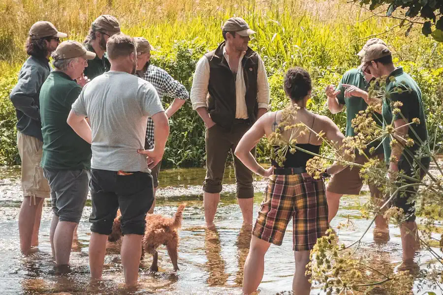
Since 2024, under schedule 14 of the Environment Act 2021,1 developers in England must achieve a minimum 10% increase in biodiversity on sites. This legal requirement initially covered major developments (broadly, 10 or more homes, 1,000 square metres or more of floorspace, or a site of 1 hectare or more),2 followed by smaller sites3 in April the same year.
BNG applies to most developments that need planning permission under the Town and Country Planning Act 1990.4 Exemptions include householder development, permitted development and, for applications made from 6 August 2026, sites of 0.2 hectares or less that do not affect priority habitat. While some projects can achieve the minimum 10% BNG uplift on-site, those that cannot must turn next to registered off-site biodiversity gains, with statutory credits as a last resort.5
The statutory biodiversity metric tool,6 used by a competent person, helps major project developers determine the pre- and post-development value of each biodiversity unit, and identify any shortfall.

This guide will walk developers through size, condition, distinctiveness, and strategic significance; the four key criteria used by the statutory biodiversity metric tool to measure standardised biodiversity units, and assign their value.
Calculating the Size of a Habitat
Size is the measurement of the habitat parcel being retained, enhanced, created, or lost, and it is a key input for the statutory biodiversity metric tool. Record it in hectares for area features and kilometres for linear features.
All habitats that are measured in hectares (such as lakes, intertidal habitats, grassland and woodland) should be recorded within the area unit module of the metric. Likewise, areas of intertidal habitats that are above water at low tide and under water at high tide should also be recorded.
For individual trees, the biodiversity metric tool contains a specific mechanism that generates an area value based on the trunk's diameter at breast height (DBH).
The Distinctiveness of a Habitat
Distinctiveness reflects a habitat's type and distinguishing features. A professional survey determines the type.
The statutory biodiversity metric tool automatically assigns a distinctiveness category and score to selected habitats.
- Very high distinctiveness = 8
- High distinctiveness = 6
- Medium distinctiveness = 4
- Low distinctiveness = 2
- Very low distinctiveness (hedgerow module) = 1
- Very low distinctiveness (area module) = 0
A Habitat's Condition
The condition is a measure of the habitat's state and is used to measure variation between parcels of the same habitat type. The score ranges from 3 for good condition to 1 for poor.
Condition is often linked to past management, present management, and land use.
A condition assessment needs to be done for all habitat parcels which require a condition to be assigned to them in the biodiversity metric tool.
Fairly good and fairly poor sites should be recorded on biodiversity metric condition sheets to support an assessment, alongside site-specific judgements from an expert ecologist. These should outline any deviations from the specific condition criteria and give the ecological reasoning.

The intermediate categories should not be used for more than a one-step adjustment from a standard condition sheet result, and should not be used for the post-development calculations unless ecologically justified.
A Focus on Hedgerows
Hedgerows and lines of trees should be recorded in kilometres. The person using the statutory biodiversity metric tool should:
- use the centre line measurement along the length of the feature
- use OS maps where possible
- record hedgerows bounding green lanes and double hedgerows as two separate lengths
When accounting for the area adjacent to hedgerows they should:
- map the area of habitat to the centre line of the hedgerow
- not subtract hedgerow footprint or canopy cover from any area habitat
- not record the loss of area habitat where hedgerows are planted
Specifics for Watercourses
For quality, watercourses also take two further components into account:
- riparian zone encroachment
- watercourse encroachment
A watercourse type should be assigned using the definitions provided in table 10 of the statutory biodiversity metric tool.
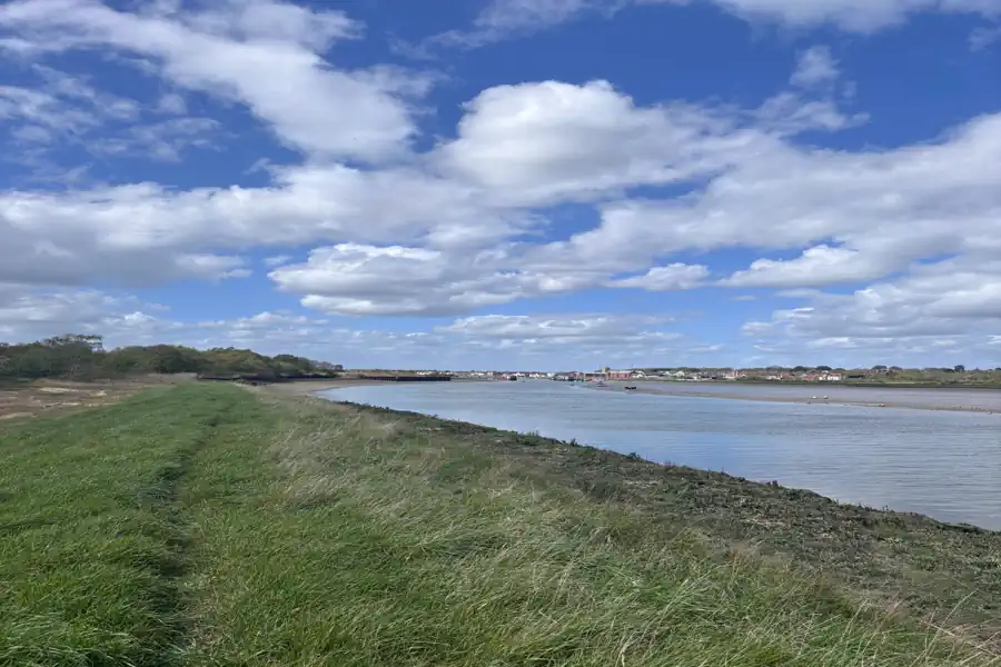
Priority habitat (very high distinctiveness) includes highly naturally functioning stretches which are on the priority river habitat map or meet the criteria for inclusion.
Other rivers and streams are categorised as high distinctiveness, though for rivers and streams that are not classified as priority river habitat, developers should check:
- Statutory main river map
- Local data on ordinary watercourses
- Internal drainage data
- Multi-Agency Geographic Information for the Countryside (MAGIC)
Canals, an artificial body of water created for the purposes of navigation, whether currently navigable or not, are categorised as medium distinctiveness.
Modified rivers which have been straightened, over deepened or concrete lined should be classed as 'other rivers and streams'. Developers should check:
- Canal and river network
- MAGIC
- Historic local data
Watercourse Type and Distinctiveness
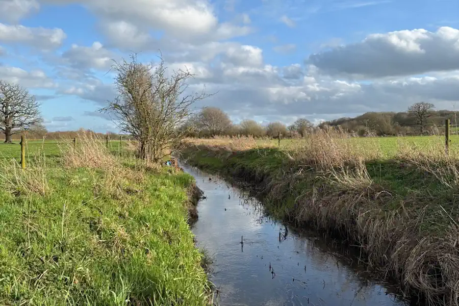
Ditches, artificially created linear water-conveyancing features that are less than 5 metres wide and are likely to retain water for more than 4 months of the year are of medium distinctiveness.
It should be noted that a watercourse meeting the definition of a higher-distinctiveness watercourse habitat or a canal should not be recorded as a ditch.
Culverts, covered channels or pipes which prevent the obstruction of a watercourse or drainage path by an artificial construction (as defined in section 72(1) of the Land Drainage Act 1991),7 are deemed of low distinctiveness, though a site visit may be required to identify their extent.
Condition Assessments for Watercourses
Watercourse habitat types use different methodologies in the statutory biodiversity metric tool to assess their condition. Developers should know that culverts do not require a condition assessment, while biodiversity metric condition sheets should be used for ditches.
For all other watercourses, including canals, a river condition assessment (RCA) should be carried out by a qualified RCA assessor.
In the event an RCA is needed, a developer should:
- survey at a minimum of one point for each section
- survey a length at least 20% of the total length of the watercourse assessed
- survey at points of known intervention, where possible
Habitat Strategic Significance
This refers to the local significance of the habitat, based on its location and habitat type.
Each individual habitat parcel, whether on-site or off-site, should be assessed. Habitat parcels intersected by a boundary between two areas of different strategic significance or a planning authority boundary should be split.
For off-site habitats, any strategic significance should be assigned using relevant local documents for their location rather than the development site's.
Where a Local Nature Recovery Strategy (LNRS) Has Been Published
Where a Local Nature Recovery Strategy (LNRS) has been published, use the LNRS and descriptions below to assign a habitat's post-development strategic significance.
Once an LNRS has been published, the baseline strategic significance values for habitat parcels in that area should always be scored as low.
Developers who refer to multiple LNRS areas should make separate assessments for each habitat parcel, including separate assessments for on and off-site habitats.
High Strategic Significance
Formally identified in a local strategy, this category can only be applied to post-development interventions when both of the following conditions are met.
First, the location of the habitat parcel has been mapped in the Local Habitat Map as an area where a potential measure has been proposed to help deliver the priorities of that LNRS.
Second, the proposed intervention is consistent with the mapped potential measure in the LNRS for the habitat parcel.
Developers should note in their biodiversity gain plan that the published LNRS has been applied.

Medium Strategic Significance
This refers to a location that is ecologically desirable but not in the local strategy. Once an LNRS has been published, this category cannot be applied.
Low Strategic Significance
This applies where the area or the compensation is not in the local strategy, that is, wherever the definition of high strategic significance is not met.
Where an LNRS Has Not Yet Been Published
A relevant planning authority that has not published an LNRS should specify alternative documents for assigning strategic significance in the meantime. Examples can include:
- Draft local nature recovery strategies
- Local plans and neighbourhood plans
- Local planning authority local ecological networks
- Tree and woodland strategies
- Area of Outstanding Natural Beauty management plans
- Biodiversity action plans
- Species conservation and protected sites strategies
- Green infrastructure strategies
- River basin management plans
- Catchment plans and catchment planning systems
- Shoreline management plans
- Estuary strategies
Strategic significance in the absence of an LNRS should also be defined by the following descriptions:
High Strategic Significance
Formally identified in local strategy, the habitat type is mapped and described as locally ecologically important within a specific location, in documents specified by the relevant planning authority.
If a development delivers the mapped habitat creation or enhancement actions set out in the specified alternative documents, or enhances an existing habitat identified within them as locally ecologically important, its strategic significance can be recorded as high in the post-intervention sheets.
If the specified alternative documents identify existing habitat as locally ecologically important within a specified location, strategic significance may also be recorded as high in the baseline.
Developers should record the name of the plan the relevant planning authority has specified in the user comments and that they have used the specified document in their gain plan.
Medium Strategic Significance
The location is ecologically desirable but is not in local strategy. This category can be applied when the LPA has not identified a suitable document for assessing strategic significance.
Users should explain how the habitat type is ecologically important within a specific location, demonstrate its importance in providing ecological linkage to other strategically significant locations, and use professional judgement.
If the above criteria are met, strategic significance may be recorded as medium in the baseline and post-intervention sheets.
Low Strategic Significance
This applies where the definitions for high or medium strategic significance are not met.
Where a relevant planning authority has not specified alternative documents for assigning strategic significance before an LNRS is published, the strategic significance should not be marked as high at baseline or post-intervention.
How the Pieces Fit Together
The metric starts with a habitat's size and adjusts it for the habitat's distinctiveness, condition and strategic significance. The result is a number of biodiversity units. For habitat that a scheme creates or enhances, the metric makes three further adjustments: for how difficult the habitat is to deliver, for how long it takes to reach its target condition, and for the distance between the habitat and the development.8
That last adjustment, the spatial risk multiplier, applies only to off-site units. For area and hedgerow units, habitat in the development's own LPA or NCA counts in full. Habitat in a neighbouring LPA or NCA counts at three quarters, and anything further away counts at half. A developer buying from further afield therefore needs more units to cover the same shortfall. Watercourse units follow the same logic, but measure distance by catchment instead.
Let Us Help You Calculate Your Development's BNG Units
Your first step to calculating how many BNG units you need is finding a suitable ecologist to carry out the baseline survey. We can help find the right professional for you.
If you need off-site solutions, we believe that buying BNG units should be easy and transparent. We are making BNG units available in multiple LPAs and NCAs.
All are legally protected, meet the highest environmental standards, and come with no ongoing liabilities, so developers stay fully compliant with regulations.
Email us at sales@greenshank-environmental.com or fill in this contact form and we'll be in touch as soon as possible.
BNG & Nutrient Neutrality Compliance: How Greenshank Helps Developers Achieve Legal Certainty
How Greenshank's BNG and nutrient neutrality solutions help developers stay compliant while meeting their planning needs.
Biodiversity Net Gain
How Does Deforestation Affect Biodiversity?
How deforestation affects UK and global biodiversity - from habitat loss and species extinction to disrupted ecosystems - and how BNG can help.
Biodiversity Net Gain
A Developer's Checklist for BNG Council Submissions
Don't put your project at risk of delays. Ensure every box is ticked with our handy developer's checklist for BNG council submissions.
Biodiversity Net Gain
Ready to buy your units?
Easily buy your BNG units online today to ensure compliance and positive environmental impact.