
Sevenoaks LPA BNG
Biodiversity Net Gain in Sevenoaks, from Knole Park to the chalk of Magpie Bottom. Expert BNG support and access to local BNG units.

Trusted by Developers and Landowners


Biodiversity Net Gain in Sevenoaks Local Planning Authority
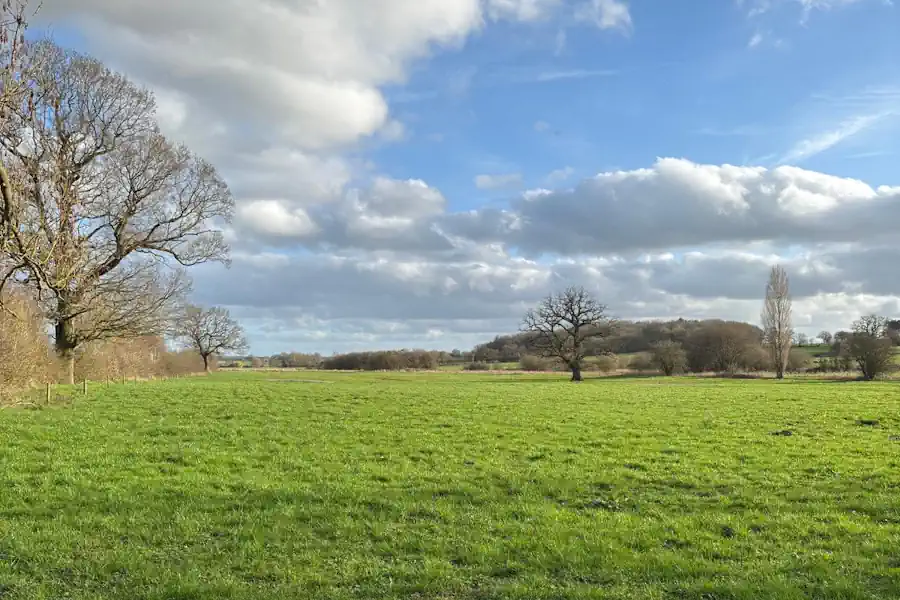
Sevenoaks is a west Kent district of about 370 square kilometres, taking in the upper valley of the River Darent and the headwaters of the River Eden. Its notified wildlife sites include Knole Park, with its acidic woodland, parkland and ponds, and the flooded Sevenoaks Gravel Pits with their reedbeds. The chalk gives Magpie Bottom and the Otford to Shoreham Downs, and there is ancient woodland at Oldbury and Seal Chart and at Lullingstone Park. The great majority of the district is Metropolitan Green Belt, and the towns are Sevenoaks, Swanley, Edenbridge and Westerham.
Biodiversity Net Gain became a legal requirement for major developments in England on 12 February 2024, and for small sites on 2 April 2024. The council applies the statutory 10%, points applicants to government guidance and refers to the Kent and Medway Local Nature Recovery Strategy, its emerging Local Plan and the Kent BNG Site Register. The adopted development plan includes the Core Strategy, adopted on 22 February 2011 and covering 2006 to 2026. An earlier Local Plan was submitted in April 2019, found not legally compliant by the Inspector in March 2020 and withdrawn by Full Council on 15 November 2022. A replacement, the Sevenoaks District Local Plan 2027 to 2042, is being prepared.
For a developer the Green Belt is the main local constraint. The council’s Plan 2040 consultation of November 2023 to January 2024 weighed sites on the edges of Sevenoaks, Westerham and West Kingsdown that fall in both Green Belt and National Landscape, so schemes there carry a landscape test as well as a Green Belt one.
Habitats in Sevenoaks Local Planning Authority
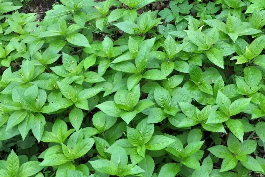
Sevenoaks combines Greensand woodland and parkland with chalk downland, river valleys and flooded gravel pits.
- Lowland Calcareous Grassland: Magpie Bottom holds steep chalk grassland with woodland and scrub, and the Otford to Shoreham Downs add more chalk downland.
- Lowland Mixed Deciduous Woodland: Oldbury and Seal Chart is ancient woodland with a rich fungal and mollusc fauna, and One Tree Hill and Bitchet Common has mixed woodland on Lower Greensand.
- Reedbeds: Sevenoaks Gravel Pits are flooded pits with reedbeds and woodland.
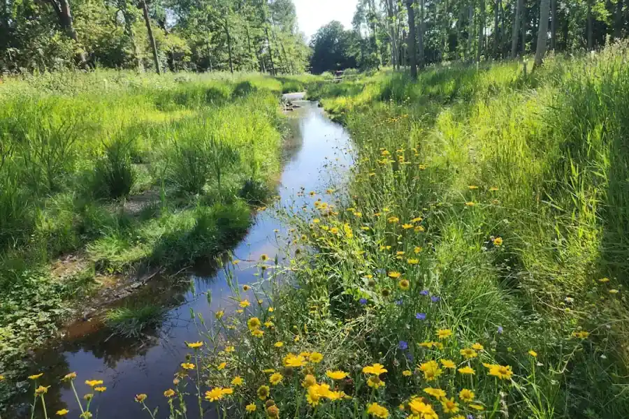
- Rivers and Streams: the upper Darent valley and the headwaters of the River Eden rise in the district, and the Darent runs through Westerham.
- Wet Woodland: Bourne Alder Carr is woodland along the River Bourne, with swamp around a fish pond.
- Wood-Pasture and Parkland: Knole Park and Lullingstone Park hold old parkland trees, with Lullingstone’s ancient pollarded woodland supporting invertebrates, lichens and fungi.
Sevenoaks
Edenbridge
Swanley
Westerham
Get notified of a scheme
We do not currently have any schemes covering this LPA.
Get notified when a scheme is available in this area.
Are you looking to start a BNG scheme?
Talk to Greenshank and explore the opportunities we offer through your land.
Latest News
Understand what biodiversity net gain is, how BNG is calculated, and how to buy or sell biodiversity units in England.
A look at natural capital, what it means to developers, and how landowners can generate income from it through projects with Greenshank.

Government's first Environmental Delivery Plan risks costing taxpayers more while delivering less nature