
Rochford LPA BNG
Discover key habitats, BNG requirements, and planning guidance for developers in Rochford LPA Local Planning Authority.

.avif)
Trusted by Developers and Landowners







Biodiversity Net Gain in Rochford LPA Local Planning Authority
Rochford, located in Essex, is a predominantly rural Local Planning Authority (LPA) known for its diverse natural environment and rich ecological heritage. Covering an area of approximately 130 square kilometres, the district includes a range of urban centres and rural settlements, with Rochford serving as the principal town. Other significant towns and villages within the LPA include Rayleigh, Hockley, and Southend-on-Sea, each contributing to the area's distinctive landscape character and biodiversity value.
As part of its commitment to sustainable development, Rochford District Council actively supports the implementation of Biodiversity Net Gain (BNG) in line with the Environment Act 2021. Developers working within the LPA are required to deliver a minimum 10% net gain in biodiversity value for most developments, secured through habitat creation, enhancement, or approved off-site units.
Rochford encompasses two National Character Areas (NCAs), the Greater Thames Estuary and the Northern Thames Basin, each influencing the typical habitat types found in the region. These include ancient woodlands, chalk grasslands, river valleys, lowland mixed deciduous woodlands, and floodplain meadows—many of which are priority habitats under the UK Biodiversity Action Plan. This ecological diversity presents both opportunities and constraints for BNG delivery, requiring careful ecological assessment and strategic planning.
For developers, landowners, and planners operating within Rochford, understanding the LPA’s landscape, habitat distribution, and regional policy context is critical to meeting BNG obligations. The council provides tailored support through BNG assessments, habitat mapping, and access to verified local BNG units and schemes.
To learn more about BNG opportunities in this area, contact us or register to be notified when local schemes become available.
Habitats in Rochford LPA Local Planning Authority
.avif)
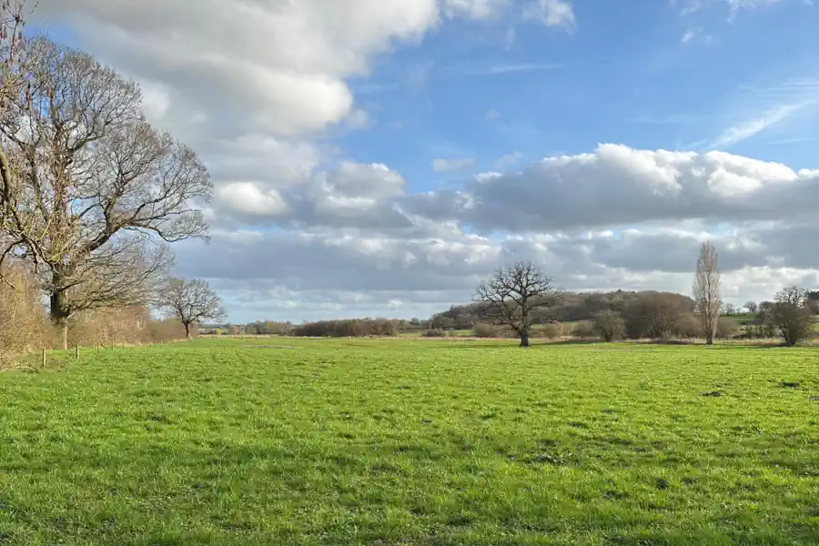
Rochford’s landscape supports a rich mosaic of habitats, many of which are priority habitats under BNG classifications and the UK Biodiversity Action Plan.
Grassland Habitats
Lowland calcareous grassland dominates the chalk ridge areas, supporting diverse plant species like orchids and wild thyme.
Lowland meadows are scattered along the River Blackwater and floodplain, offering high biodiversity value, particularly for invertebrates and ground-nesting birds.
Areas of modified grassland are common in improved pastures and paddocks, but these hold lower BNG value unless enhanced.
In some acidic soils, lowland dry acid grassland and other lowland acid grassland can be found, especially on sandy substrates and heathland edges.
Woodland and Forest Habitats
The LPA contains extensive lowland mixed deciduous woodland, particularly on the clay-with-flints plateau and valley slopes, providing habitat for bats, dormice, and woodland birds.
Veteran trees and old estates feature wood-pasture and parkland, a rare and highly valued BNG habitat.
Areas of wet woodland, often associated with river valleys, add to the ecological complexity.
Heathland and Shrub
On the fringes of the Thames Basin Heaths, lowland heathland and mixed scrub are present, though often fragmented, supporting heathland birds like nightjar and Dartford warbler.
Wetland and Watercourse Habitats
The River Blackwater, a designated Site of Special Scientific Interest (SSSI), provides priority river habitats and supports adjacent floodplain wetland mosaics.
Smaller ponds, reedbeds, and ditches are scattered across the landscape, particularly in floodplain areas.
Cropland Habitats
Much of Rochford’s agricultural land is under cereal crops or temporary grass and clover leys, but there is increasing scope to integrate arable field margins for biodiversity gain.
Hedgerows and Linear Features
Species-rich hedgerows form important ecological corridors across the landscape.
Rochford LPA BNG Planning
For BNG delivery in Rochford, high and very high distinctiveness habitats such as lowland calcareous grassland, lowland meadows, wood-pasture, and priority rivers are particularly important to protect and enhance. Restoration or creation of such habitats provides the highest biodiversity uplift but also carries stricter requirements under the BNG metric.
Conversely, improving lower distinctiveness habitats, such as modified grassland or cropland through buffer planting, hedgerow enhancement, or field margin creation, offers practical options for on-site or local BNG contributions.
Off-site habitat creation or contributions to local habitat banks may also be necessary for larger developments.

Rochford
Rayleigh
Hockley
Southend-on-Sea
Get notified of a scheme
We do not currently have any schemes covering this LPA.
Get notified when a scheme is available in this area.
Discover Schemes in
Rochford LPA
LPA
Restoring ecosystems and creating sustainable habitats
through BNG and nutrient mitigation.
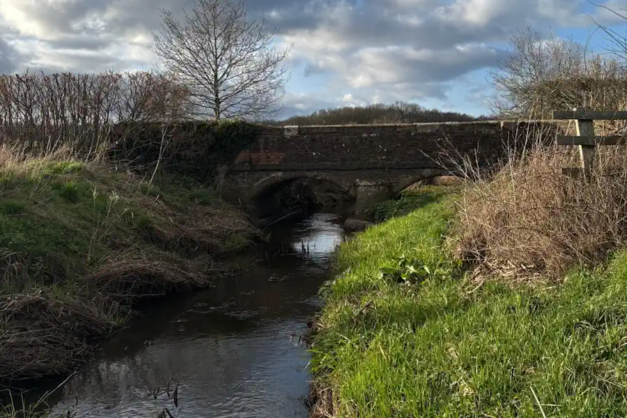
Shavington Estate
Shavington Estate
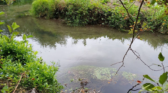
Hurst Farm
Hurst Farm
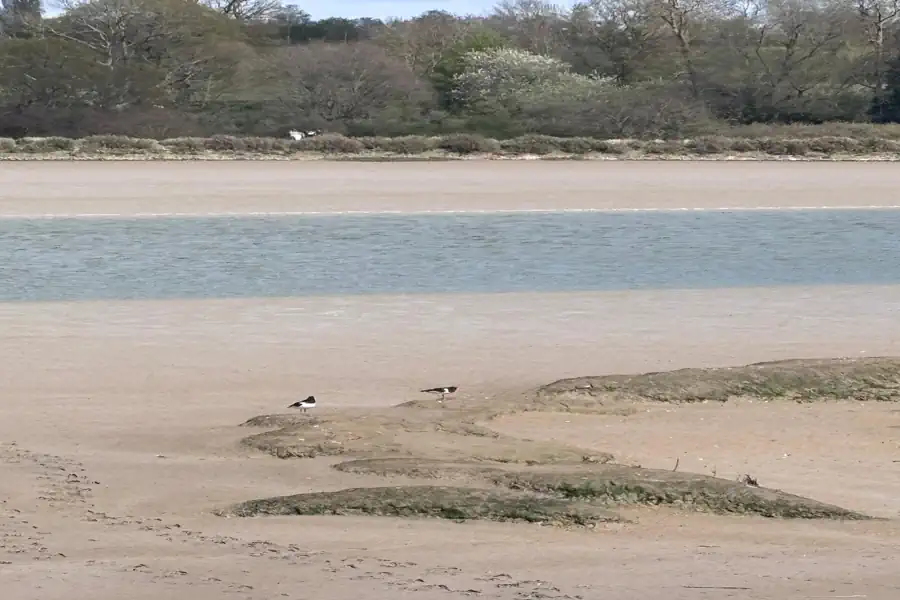
Essex BNG at Priors Farm
Essex BNG at Priors Farm

Somerset BNG Scheme
Trinity Farm & Eastcombe Fields
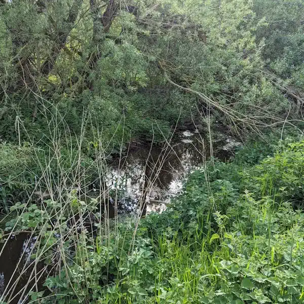
Tees Nutrient Mitigation
Tees Nutrient Mitigation Scheme
.jpg)
Wiltshire BNG at Lydeway
Land at Lydeway
.jpg)
Herefordshire BNG at Hampton Wafre
Hampton Wafre Farm
Are you looking to start a BNG scheme?
Talk to Greenshank and explore the opportunities we offer through your land.
Latest News
A step-by-step guide for landowners looking to sell their land as BNG units, and how Greenshank can help at every stage of the process.
.webp)
Find out how biodiversity net gain legislation works under the Environment Act 2021, what it requires, and which developments are exempt.
Find out how nutrient mitigation schemes work for landowners, how nutrient credits are generated, and how to combine nutrient and BNG income.