
Thurrock LPA BNG
Discover key habitats, BNG requirements, and planning guidance for developers in Thurrock LPA Local Planning Authority.


Trusted by Developers and Landowners


Biodiversity Net Gain in Thurrock LPA Local Planning Authority
Thurrock, a unitary authority in south Essex, is located on the northern banks of the Thames Estuary. It is a mixed urban-industrial and rural Local Planning Authority (LPA), covering approximately 165 square kilometres. The borough includes significant urban settlements such as Grays, Tilbury, and Stanford-le-Hope, along with large expanses of countryside, estuarine marshes, brownfield sites, and mineral restoration land, offering varied opportunities for Biodiversity Net Gain (BNG).
Thurrock Council is implementing BNG requirements in line with the Environment Act 2021. Most new developments must achieve a minimum 10% net gain in biodiversity through habitat creation, enhancement, or delivery of off-site biodiversity units.
The area falls within the Greater Thames Estuary National Character Area, known for its coastal grazing marshes, intertidal mudflats, saltmarshes, estuarine reedbeds, and clay farmlands. Many of Thurrock’s habitats are associated with brownfield regeneration, former industrial land, and protected estuarine and wetland zones, such as the Mucking Flats and Marshes SSSI and parts of the Thames Estuary and Marshes SPA and Ramsar site.
For developers, planners, and landowners in Thurrock, understanding the LPA’s ecological assets and constraints is crucial for successful BNG delivery. Our team offers expert habitat assessments, metric calculations, and links to local and regional biodiversity offset providers.
Contact us or register for updates on BNG schemes in Thurrock.
Habitats in Thurrock LPA Local Planning Authority

Thurrock offers a diverse range of BNG-relevant habitats shaped by estuarine influence, restoration land, and industrial heritage.
Grassland Habitats
Coastal and neutral grasslands occur on sea walls, restored land, and floodplains.
Improved grasslands are present in parks and former agricultural land with scope for enhancement.
Woodland and Forest Habitats
Scattered pockets of broadleaved and wet woodland occur along river valleys and mineral sites.
Scrub encroachment into open areas provides ecological value, especially for birds and invertebrates.
Heathland and Shrub
Species-rich brownfield sites and open mosaic habitats on previously developed land support rare invertebrates and flora.
Wetland and Watercourse Habitats
The River Thames estuarine fringe includes intertidal mudflats, saltmarshes, and grazing marshes—some nationally and internationally designated.
Reedbeds and saline lagoons contribute significantly to local wetland biodiversity.
Freshwater ditches, ponds, and attenuation basins support amphibians and aquatic invertebrates.
Cropland Habitats
Arable farmland is present in rural parts of the borough, with field margins and buffer zones offering BNG enhancement opportunities.
Hedgerows and Linear Features
Hedgerows are common in the rural fringe, supporting farmland birds and forming wildlife corridors.
Grays
Tilbury
Stanford-le-Hope
South Ockendon
Corringham
Chafford Hundred
Get notified of a scheme
We do not currently have any schemes covering this LPA.
Get notified when a scheme is available in this area.
Are you looking to start a BNG scheme?
Talk to Greenshank and explore the opportunities we offer through your land.
Latest News
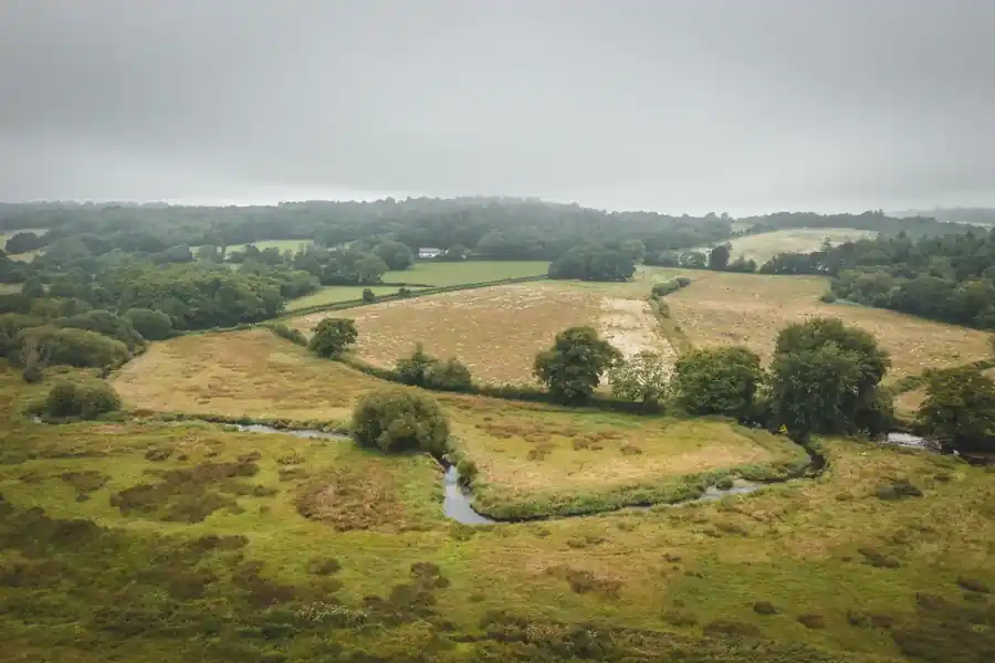
Understand what biodiversity net gain is, how BNG is calculated, and how to buy or sell biodiversity units in England.
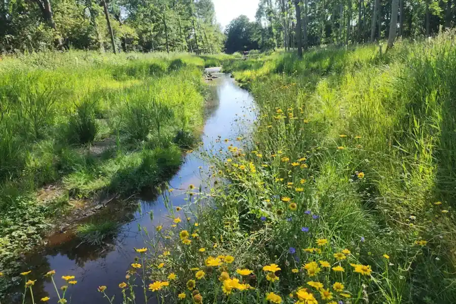
A look at natural capital, what it means to developers, and how landowners can generate income from it through projects with Greenshank.

Government's first Environmental Delivery Plan risks costing taxpayers more while delivering less nature