
St Albans LPA BNG
Discover key habitats, BNG requirements, and planning guidance for developers in St Albans LPA Local Planning Authority.


Trusted by Developers and Landowners


Biodiversity Net Gain in St Albans LPA Local Planning Authority
St Albans, located in Hertfordshire in South East England, is a predominantly semi-rural Local Planning Authority (LPA) characterised by a blend of historic urban centres, market towns, and rural villages. Covering an area of approximately 368 square kilometres, the district includes the cathedral city of St Albans as the principal urban centre, alongside significant towns and villages such as Harpenden, Wheathampstead, and Redbourn. These settlements are surrounded by a diverse landscape of agricultural land, ancient woodlands, and chalk downlands, each contributing to the area’s rich ecological heritage and distinctive landscape character.
As part of its commitment to sustainable development, St Albans City and District Council actively supports the implementation of Biodiversity Net Gain (BNG) in accordance with the Environment Act 2021. Developers operating within the LPA are required to achieve a minimum 10% net gain in biodiversity value for most developments, secured through habitat creation, enhancement, or verified off-site biodiversity units.
St Albans lies predominantly within the Chilterns Area of Outstanding Natural Beauty (AONB) and overlaps with National Character Areas (NCAs) including the Chilterns and the Northern Thames Basin. These areas influence the typical habitat types found throughout the district, including ancient beech woodlands, chalk grasslands, mixed farmland, and riparian corridors. Many of these habitats are recognised as priority habitats under the UK Biodiversity Action Plan, presenting both opportunities and challenges for effective BNG delivery that requires careful ecological assessment and strategic planning.
For developers, landowners, and planners working in St Albans, a strong understanding of the district’s landscape context, habitat distribution, and local biodiversity policies is essential to meeting BNG obligations. Our team provides tailored support through detailed BNG assessments, habitat mapping, and access to verified local biodiversity units and offsetting schemes.
To learn more about BNG opportunities in this area, contact us or register to be notified when local biodiversity schemes become available.
Habitats in St Albans LPA Local Planning Authority

The natural landscape of St Albans is strongly influenced by its location within the Chilterns AONB and the underlying chalk geology, which supports a variety of important habitats protected under BNG and UK conservation priorities.
Grassland Habitats
Chalk grassland and calcareous grasslands are prominent on the Chiltern hills, supporting diverse flora including orchids, wild thyme, and other specialist species.
Lowland meadows and neutral grasslands are scattered in valleys and agricultural land, providing valuable habitat for pollinators and ground-nesting birds.
Modified grasslands dominate improved pasture and amenity areas, offering moderate biodiversity value unless enhanced.
Woodland and Forest Habitats
Ancient beech woodlands and mixed deciduous woodlands form extensive blocks, particularly across the Chiltern escarpment, providing critical habitat for bats, dormice, and woodland birds.
Wood-pasture and parkland, often associated with historic estates, include veteran trees which are a rare and valuable BNG habitat.
Wet woodlands are found in riparian corridors, adding to habitat diversity.
Heathland and Shrub
Fragmented patches of lowland heath and mixed scrub are present on acid soils in certain parts of the district, supporting specialist bird species such as nightjar and Dartford warbler.
Wetland and Watercourse Habitats
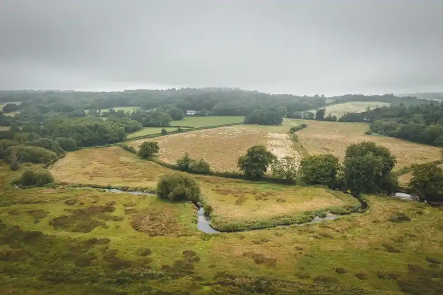
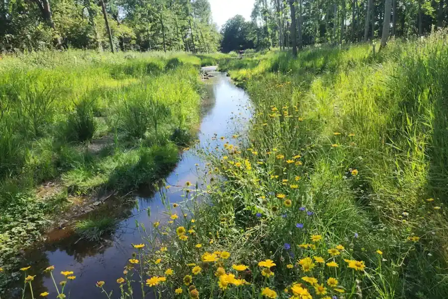
The River Ver and other smaller watercourses flow through the district, often bordered by floodplain meadows and wetland mosaics important for amphibians and aquatic invertebrates.
Ponds, reedbeds, and ditches are scattered through rural and urban areas, contributing to local biodiversity connectivity.
Cropland Habitats
Arable farmland dominates much of the district, with increasing potential to enhance biodiversity through field margins, hedgerows, and buffer strips.
Hedgerows and Linear Features
Species-rich hedgerows, often accompanying ditches and banks, form critical wildlife corridors across the agricultural landscape, supporting connectivity under BNG schemes.
St Albans
Harpenden
Wheathampstead
Redbourn
Get notified of a scheme
We do not currently have any schemes covering this LPA.
Get notified when a scheme is available in this area.
Are you looking to start a BNG scheme?
Talk to Greenshank and explore the opportunities we offer through your land.
Latest News
Understand what biodiversity net gain is, how BNG is calculated, and how to buy or sell biodiversity units in England.
A look at natural capital, what it means to developers, and how landowners can generate income from it through projects with Greenshank.

Government's first Environmental Delivery Plan risks costing taxpayers more while delivering less nature