
Solihull LPA BNG
Discover key habitats, BNG requirements, and planning guidance for developers in Solihull LPA Local Planning Authority.


Trusted by Developers and Landowners


Biodiversity Net Gain in Solihull LPA Local Planning Authority
Solihull, located in the West Midlands, is a predominantly suburban and semi-rural Local Planning Authority (LPA) known for its extensive green belt and well-preserved natural habitats. Covering about 150 square kilometres, Solihull combines residential areas, commercial zones, and large tracts of agricultural and natural land. The town of Solihull serves as the principal urban centre, with smaller settlements including Shirley, Knowle, and Dorridge.
Solihull Metropolitan Borough Council is committed to implementing Biodiversity Net Gain (BNG) as per the Environment Act 2021, requiring most developments to secure a minimum 10% net gain in biodiversity through on-site habitat creation, enhancement, or verified off-site biodiversity units.
The LPA lies primarily within the Arden National Character Area, characterised by ancient woodlands, river valleys, and lowland farmland. Priority habitats include ancient and semi-natural broadleaved woodlands, lowland meadows, species-rich hedgerows, and wetland habitats. Solihull’s strong green infrastructure network offers considerable opportunities for delivering BNG in both urban and rural contexts.
For developers, planners, and landowners in Solihull, understanding local habitats and BNG policy frameworks is essential. Our team offers tailored support including habitat assessments, metric calculations, and access to local biodiversity credit schemes.
Contact us or register to stay updated on BNG opportunities in Solihull.
Habitats in Solihull LPA Local Planning Authority

Solihull’s landscape is strongly influenced by the Arden National Character Area, offering a mosaic of semi-natural habitats interspersed with farmland and urban greenspace.
Grassland Habitats
Lowland meadows and neutral grasslands occur throughout the borough, particularly in greenbelt areas and parks, supporting diverse flora and fauna.
Improved grasslands are widespread on farmland and in managed greenspaces.
Woodland and Forest Habitats
Ancient and semi-natural broadleaved woodlands are prominent, especially along river corridors and within the green belt.
Secondary woodlands and managed tree belts contribute to habitat connectivity and urban biodiversity.
Wet woodlands occur in floodplain areas, adding habitat diversity.
Heathland and Shrub
Lowland heathland is limited but some scrub and transitional habitats are present, especially on urban fringe and brownfield sites.
Wetland and Watercourse Habitats
The Rivers Blythe and Cole provide priority freshwater habitats, including floodplain wetlands and associated marshes.
Urban ponds, reedbeds, and ditches contribute to wetland biodiversity.
Cropland Habitats
Predominantly arable and improved pasture farmland surrounds urban areas, with scope for biodiversity enhancement through field margins and buffer strips.
Hedgerows and Linear Features
Species-rich hedgerows are widespread, serving as vital wildlife corridors across rural and urban landscapes.
Solihull
Shirley
Knowle
Dorridge
Smith’s Wood
Get notified of a scheme
We do not currently have any schemes covering this LPA.
Get notified when a scheme is available in this area.
Are you looking to start a BNG scheme?
Talk to Greenshank and explore the opportunities we offer through your land.
Latest News
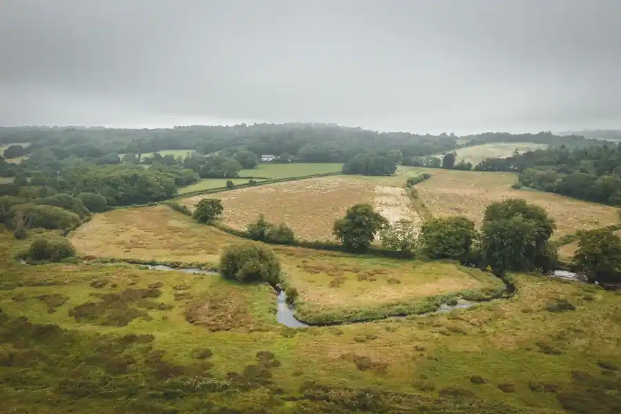
Understand what biodiversity net gain is, how BNG is calculated, and how to buy or sell biodiversity units in England.
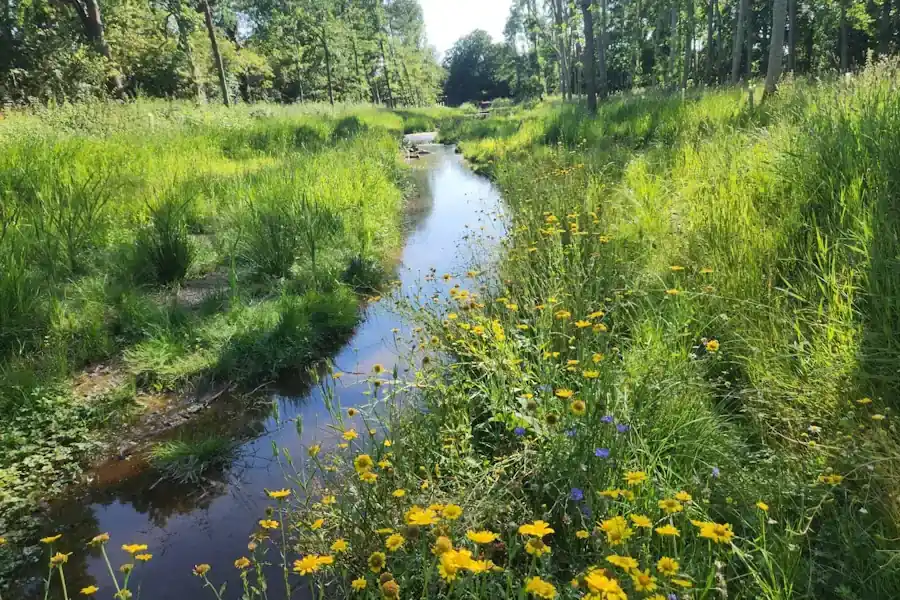
A look at natural capital, what it means to developers, and how landowners can generate income from it through projects with Greenshank.

Government's first Environmental Delivery Plan risks costing taxpayers more while delivering less nature