East Suffolk LPA BNG
Discover key habitats, BNG requirements, and planning guidance for developers in East Suffolk LPA Local Planning Authority.

.avif)
Trusted by Developers and Landowners


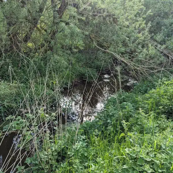
Biodiversity Net Gain in East Suffolk LPA Local Planning Authority
West Berkshire, located in South East England, is a predominantly rural Local Planning Authority (LPA) known for its diverse natural environment and rich ecological heritage. Covering an area of approximately 704 square kilometres, the district includes a range of urban centres and rural settlements, with Newbury serving as the principal town. Other significant towns and villages within the LPA include Thatcham, Hungerford, Pangbourne, and Theale, each contributing to the area's distinctive landscape character and biodiversity value.
As part of its commitment to sustainable development, West Berkshire Council actively supports the implementation of Biodiversity Net Gain (BNG) in line with the Environment Act 2021. Developers working within the LPA are required to deliver a minimum 10% net gain in biodiversity value for most developments, secured through habitat creation, enhancement, or approved off-site units.
West Berkshire encompasses several National Character Areas (NCAs), notably the North Wessex Downs and Thames Basin Heaths, each influencing the typical habitat types found in the region. These include ancient woodlands, chalk grasslands, river valleys, lowland mixed deciduous woodlands, and floodplain meadows—many of which are priority habitats under the UK Biodiversity Action Plan. This ecological diversity presents both opportunities and constraints for BNG delivery, requiring careful ecological assessment and strategic planning.
For developers, landowners, and planners operating within West Berkshire, understanding the LPA’s landscape, habitat distribution, and regional policy context is critical to meeting BNG obligations. Our team provides tailored support through BNG assessments, habitat mapping, and access to verified local BNG units and schemes.
To learn more about BNG opportunities in this area, contact us or register to be notified when local schemes become available.
East Suffolk, located along the Suffolk coast, is one of the largest districts in the East of England, covering over 1,250 square kilometres. The area includes market towns such as Woodbridge, Saxmundham, Beccles, and Felixstowe, as well as a significant stretch of the Suffolk Coast & Heaths Area of Outstanding Natural Beauty (AONB). The district’s coastal, estuarine, and rural inland landscapes are of national and international biodiversity importance.
As required by the Environment Act 2021, East Suffolk Council mandates that most developments deliver a minimum of 10% Biodiversity Net Gain (BNG). This can be achieved through on-site habitat creation, off-site biodiversity units, or via local habitat banks and landowner partnerships.
The district spans several National Character Areas, including Suffolk Coast and Heaths, South Norfolk and High Suffolk Claylands, and The Broads. It includes nationally and internationally designated sites such as Special Areas of Conservation (SACs), Special Protection Areas (SPAs), Ramsar sites, and Sites of Special Scientific Interest (SSSIs)—especially within estuarine and coastal habitats like the Deben, Blyth, and Orwell estuaries.
Delivering BNG in East Suffolk requires balancing growth with the conservation of highly sensitive landscapes. However, extensive arable land, managed grassland, and existing green infrastructure provide substantial potential for strategic habitat enhancement.
Our team provides end-to-end BNG services throughout East Suffolk, including metric calculations, habitat design, baseline ecological surveys, and sourcing of biodiversity units. Get in touch to explore your site’s potential.
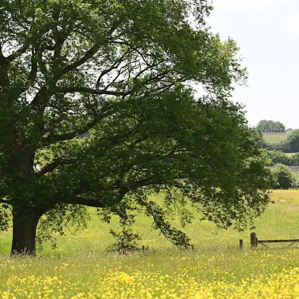
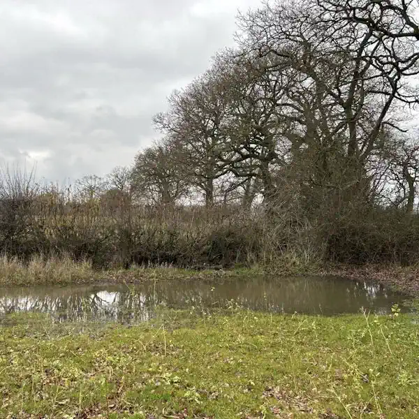
Habitats in East Suffolk LPA Local Planning Authority
.avif)
West Berkshire’s landscape is shaped predominantly by the North Wessex Downs National Character Area (NCA 116), a chalk downland landscape of international ecological importance, and partly by the Thames Basin Heaths (NCA 129). These NCAs support a rich mosaic of habitats, many of which are priority habitats under BNG classifications and the UK Biodiversity Action Plan.
Grassland Habitats
Lowland calcareous grassland dominates the chalk ridge areas, supporting diverse plant species like orchids and wild thyme.
Lowland meadows are scattered along the Kennet Valley and floodplain, offering high biodiversity value, particularly for invertebrates and ground-nesting birds.
Areas of modified grassland are common in improved pastures and paddocks, but these hold lower BNG value unless enhanced.
In some acidic soils, lowland dry acid grassland and other lowland acid grassland can be found, especially on sandy substrates and heathland edges.
Woodland and Forest Habitats
The LPA contains extensive lowland mixed deciduous woodland, particularly on the clay-with-flints plateau and valley slopes, providing habitat for bats, dormice, and woodland birds.
Veteran trees and old estates feature wood-pasture and parkland, a rare and highly valued BNG habitat.
Areas of wet woodland, often associated with river valleys, add to the ecological complexity.
Heathland and Shrub
On the fringes of the Thames Basin Heaths, lowland heathland and mixed scrub are present, though often fragmented, supporting heathland birds like nightjar and Dartford warbler.
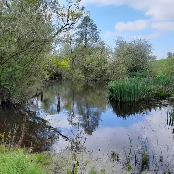
Wetland and Watercourse Habitats
The River Kennet, a designated Site of Special Scientific Interest (SSSI), provides priority river habitats and supports adjacent floodplain wetland mosaics.
Smaller ponds, reedbeds, and ditches are scattered across the landscape, particularly in floodplain areas.
Cropland Habitats
Much of West Berkshire’s agricultural land is under cereal crops or temporary grass and clover leys, but there is increasing scope to integrate arable field margins for biodiversity gain.
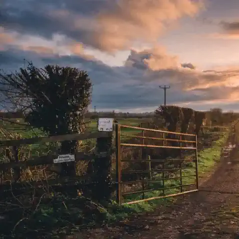
Hedgerows and Linear Features
The rural landscape is strongly characterised by native species-rich hedgerows, often associated with ditches and banks, which function as critical wildlife corridors under BNG classification.
East Suffolk’s broad coastal and rural landscape supports a wide range of priority habitats under the BNG framework and national conservation strategies.
Coastal and Estuarine Habitats
Saltmarsh and Intertidal Mudflats: Widespread along the Orwell, Deben, and Blyth estuaries; support wading birds, fish, and invertebrates.
Sand Dunes and Shingle Beaches: Dynamic coastal habitats that support rare plants and invertebrates.
Coastal Grazing Marsh: Found behind sea walls and estuaries; important for breeding birds and wetland flora.
Wetland and Watercourse Habitats
Reedbeds and Freshwater Fens: High distinctiveness habitats, many associated with Broads tributaries and the AONB.
Rivers and Streams: The Rivers Deben, Alde, and Waveney serve as important ecological corridors.
Ponds and Drainage Channels: Scattered across the countryside and often linked to farmland or former quarries.
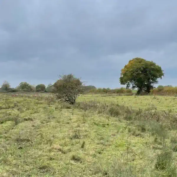
Grassland Habitats
Lowland Meadows and Floodplain Grassland: Found in valley bottoms and flood-prone areas; rich in wildflowers and pollinators.
Modified Grassland: Common on farmland and in amenity areas; offers potential for enhancement.
Woodland and Scrub Habitats
Lowland Mixed Deciduous Woodland: Found in parklands, estates, and river valleys across the district.
Ancient Woodland and Wet Woodland: Limited in extent but highly valuable where present.
Cropland and Farmland Habitats
Arable Land: Extensive across inland East Suffolk; suitable for BNG through field margin planting, hedgerow creation, and rotational set-aside.
Ley Grassland and Fallow Plots: Provide seasonal resources for birds, pollinators, and small mammals.
Hedgerows and Linear Features
Species-Rich Hedgerows: Integral to the historic landscape and critical for connecting fragmented habitats.
Field Margins, Ditches, and Lanes: Function as linear wildlife corridors.
East Suffolk LPA BNG Planning
High distinctiveness habitats—such as reedbeds, saltmarsh, coastal shingle, and ancient woodland—require careful planning and strong justification if impacted. Their loss must be offset through substantial biodiversity gains elsewhere.
Lower distinctiveness habitats, including modified grassland, arable land, and hedgerows, offer practical and scalable opportunities for on-site BNG. East Suffolk also benefits from a strong local conservation network that can support landscape-scale biodiversity enhancement.

Felixstowe
Lowestoft
Woodbridge
Beccles
Saxmundham
Get notified of a scheme
We do not currently have any schemes covering this LPA.
Get notified when a scheme is available in this area.
Discover Schemes in
East Suffolk LPA
LPA
Restoring ecosystems and creating sustainable habitats
through BNG and nutrient mitigation.

Somerset BNG Scheme
Trinity Farm & Eastcombe Fields
Tees Nutrient Mitigation
Tees Nutrient Mitigation Scheme
Kent BNG Scheme
Haffenden Habitat Bank
Test Valley BNG Scheme
Blackbarn Farm
Cheshire West and Chester BNG Scheme
Davenham Habitat Bank
High Weald BNG Scheme
Wilderlands Habitat Bank
Yare Nutrient Mitigation
Yare Nutrient Mitigation Scheme
Are you looking to start a BNG scheme?
Talk to Greenshank and explore the opportunities we offer through your land.
Latest News

Enhanced Drainage Ditch Management for Nutrient Transport Reduction
A review of Greenshank's Drainage Ditch Methodology for Nutrient Mitigation

Is the Levelling Up Bill heading up a creek without a paddle?
The quest for a greener, more sustainable future has led to remarkable innovations in technology.