
Breckland LPA BNG
Biodiversity Net Gain in Breckland, home to Thetford Forest and the Brecks. Expert BNG support and access to local BNG units.


Trusted by Developers and Landowners


Biodiversity Net Gain in Breckland Local Planning Authority
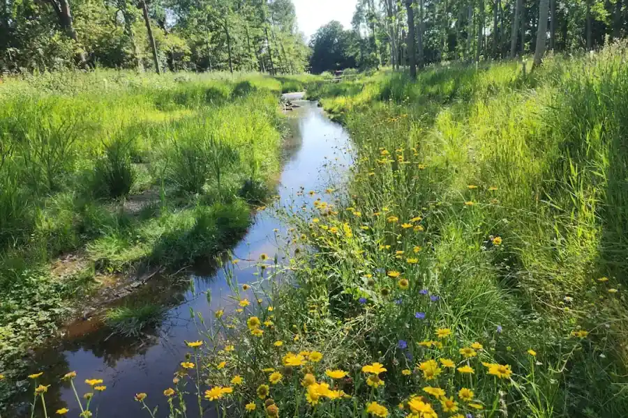
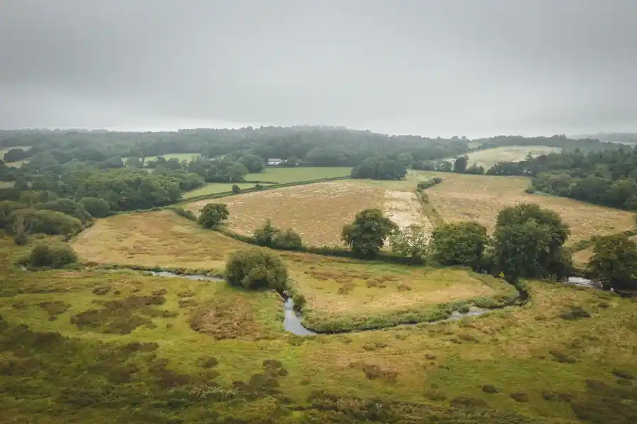
Breckland is a district of heath, forest and farmland in south-west Norfolk, centred on The Brecks, a low plateau of sandy glacial soils over chalk. The Brecks hold Thetford Forest, the largest lowland conifer forest in England, and the Breckland Special Protection Area, which covers 39,141 hectares of the wider landscape. Weeting Heath National Nature Reserve, west of Thetford, protects breeding stone-curlews, and Thompson Common, north of Thetford, holds pingo ponds within the Norfolk Valley Fens Special Area of Conservation. The Little Ouse and the Wissey drain the plateau to the west.
Biodiversity Net Gain became a legal requirement for major developments in England on 12 February 2024, and for small sites on 2 April 2024. Breckland’s Local Plan was adopted on 28 November 2019 and runs to 2036, with a partial update in September 2023 that reviewed Policy INF 03 only. Policy ENV 02 covers biodiversity protection and enhancement, and Policy ENV 03 covers protected habitats and species in the Brecks. A new Local Plan for 2025 to 2043 is being prepared.
Breckland adds two further tests. Around the parts of the Breckland Special Protection Area that support stone-curlew, the council applies a 1,500 metre buffer inside which development will not normally be permitted. Schemes with overnight accommodation that drain to the River Wensum Special Area of Conservation or the Broads Special Area of Conservation and Ramsar site must also show nutrient neutrality, usually with credits from Norfolk Environmental Credits. The Yare Nutrient Mitigation scheme is hosted in Breckland.
Habitats in Breckland Local Planning Authority
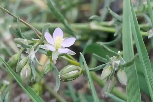
Breckland runs from dry sandy heath and pine forest to spring-fed valley fen and chalk-fed river.
- Coniferous Woodland: Thetford Forest is the largest lowland conifer forest in England, and woodland covers 28% of The Brecks, mostly commercial plantation.
- Cropland: vegetables and cereals cover more than two-thirds of The Brecks.
- Hedgerows: lines of pine, known locally as deal rows, and hedges bound the fields.
- Lowland Fens: Thompson Common covers 154.7 hectares and forms part of the Norfolk Valley Fens Special Area of Conservation.
- Lowland Heathland: Weeting Heath National Nature Reserve covers 141.8 hectares and holds breeding stone-curlews.
- Ponds: pingo ponds at Thompson Common formed when ice mounds melted at the end of the last glaciation.
- Rivers and Streams: the Little Ouse and the Wissey cut shallow valleys across the plateau and drain west to the Fens.
Thetford
Dereham
Attleborough
Swaffham
Watton
Get notified of a scheme
We do not currently have any schemes covering this LPA.
Get notified when a scheme is available in this area.
Are you looking to start a BNG scheme?
Talk to Greenshank and explore the opportunities we offer through your land.
Latest News
Understand what biodiversity net gain is, how BNG is calculated, and how to buy or sell biodiversity units in England.
A look at natural capital, what it means to developers, and how landowners can generate income from it through projects with Greenshank.

Government's first Environmental Delivery Plan risks costing taxpayers more while delivering less nature